Features
No-Fly Zones
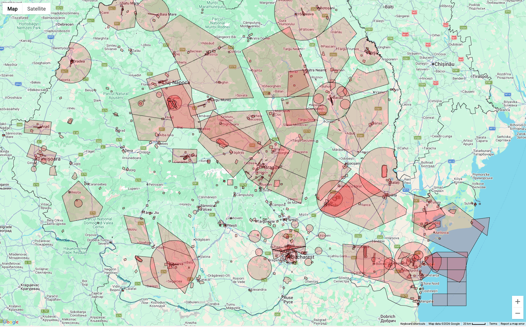
Flying blind is never an option. PulseDrone overlays official restricted airspace data directly onto an interactive map, so you know exactly where you can — and cannot — operate before your props ever spin up. Stay legal, stay safe.
Data is provided as-is. Always verify with METAR, NOTAM and local authority sources before flying.
Supported regions
We currently cover four regions with up-to-date restricted airspace data, with more being added regularly.
🇬🇧
United Kingdom
Available🇮🇪
Ireland
Available🇷🇴
Romania
Available香港
Hong Kong
Available🌍
More regions
Coming soon© 2026 GyroWise. All rights reserved. Build 8ca6634.